
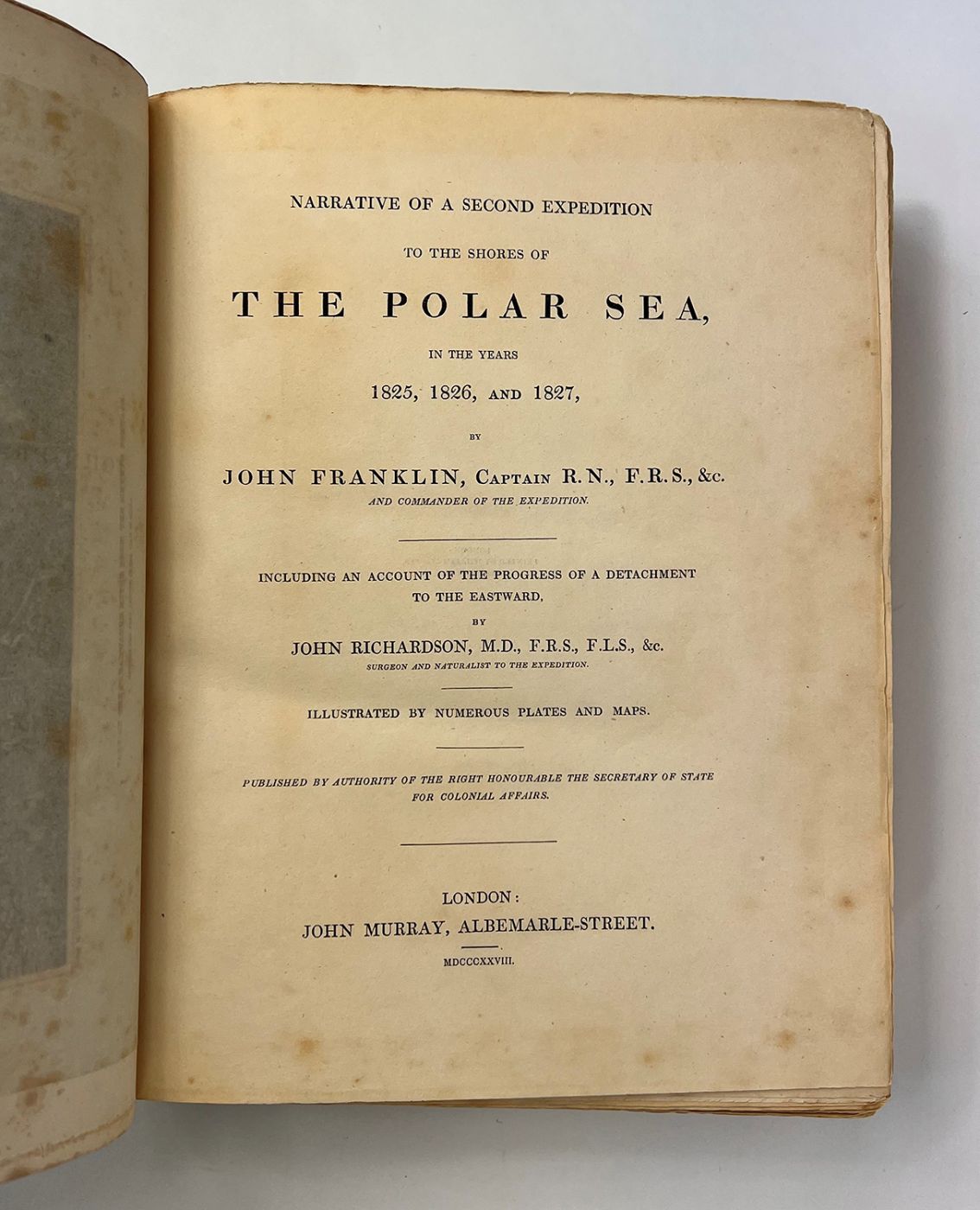
NARRATIVE OF A SECOND EXPEDITION TO THE SHORES OF THE POLAR SEA, IN THE YEARS 1825, 1826, AND 1827, by John Franklin, Captain R.N., F.R.S., &c and Commander of the Expedition. Including an Account of the Progress of a Detachment to the Eastward, by John Richardson, M.D., F.R.S., F.L.S., &c, Surgeon and Naturalist to the Expedition.
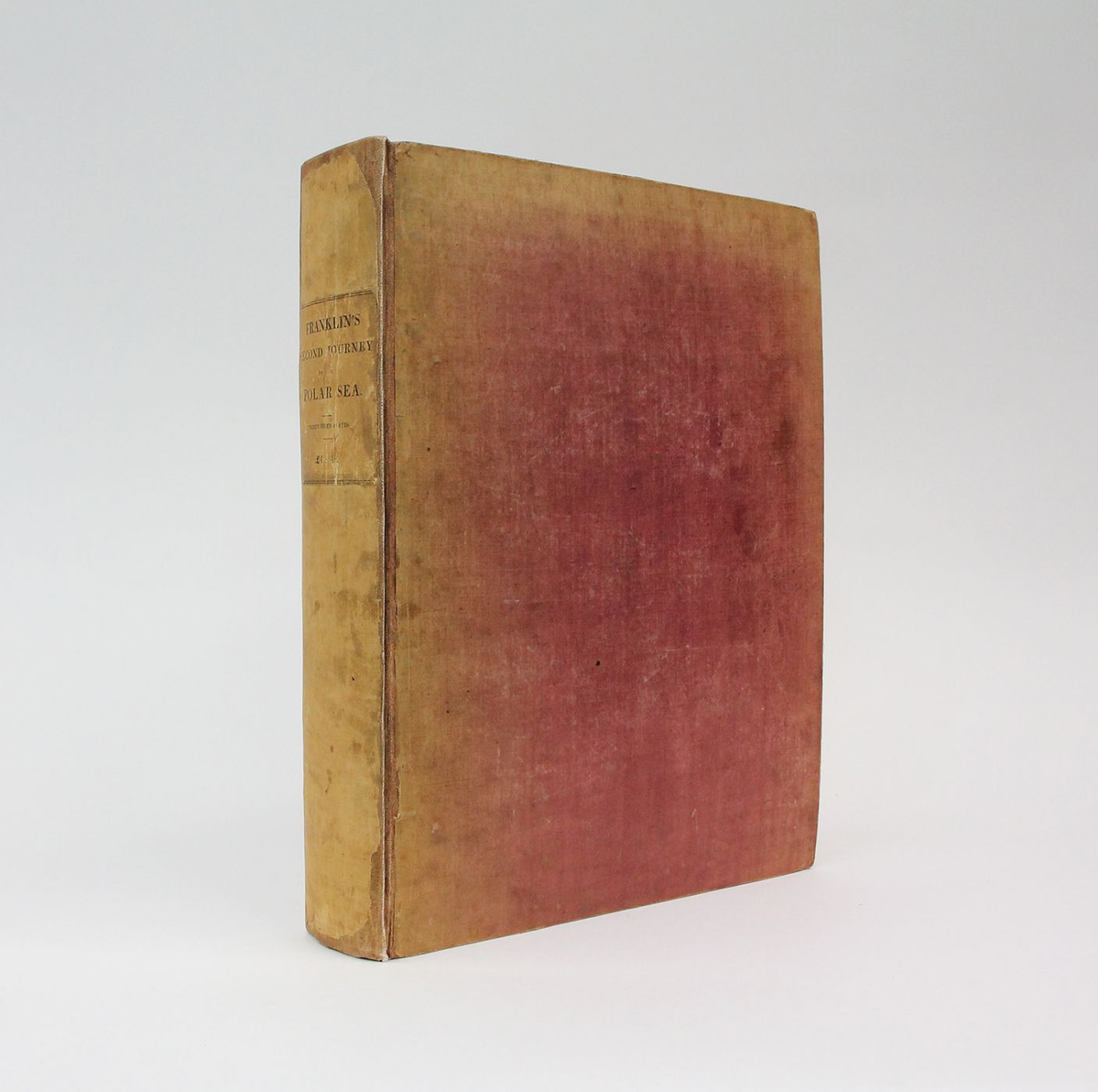
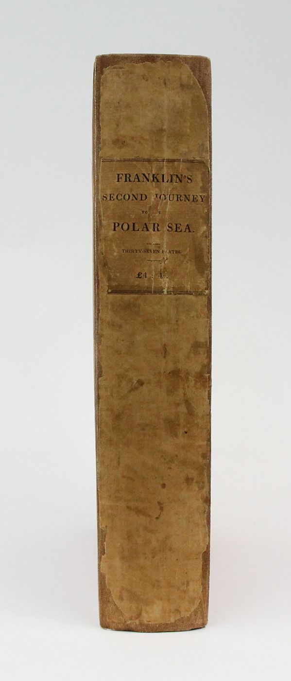
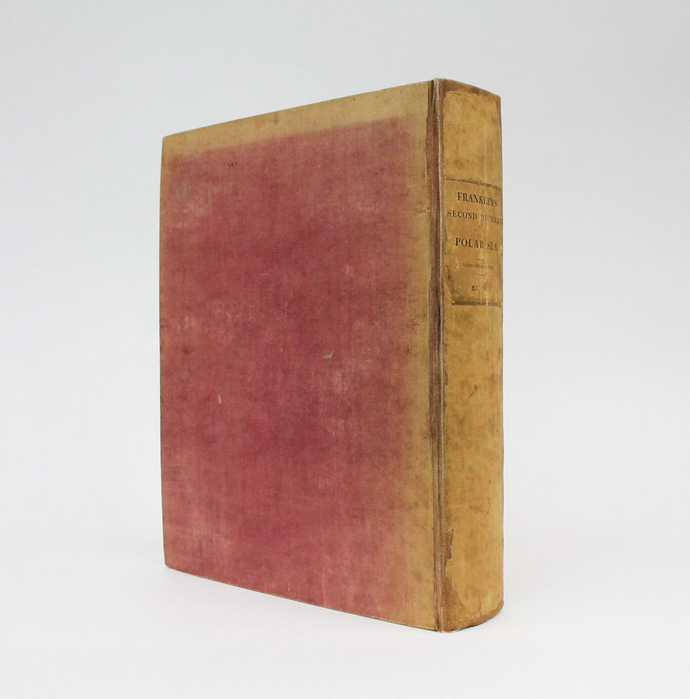
First edition. 4to. Publisher's original red cloth with printed paper title label to the spine. Expertly re-backed, with the original spine laid down to matching cloth. Page edges untrimmed. Publisher's prospectus for 'North American Views [ ] during the land Arctic Expeditions in 1819-1826 under the command of Captain Franklin' bound in at the front. Illustrated with 31 plates engraved by Edward Finden after drawings by George Back & E. N. Kendall, with tissue-guards, and six folding engraved maps, one partially hand-coloured. A near fine copy, the binding square and firm with fading to the spine and to the edges of the boards and with a touch of wear to the corners. The contents, with some light scattered foxing to the preliminary pages and occasionally to thepage edges, are otherwise wonderfully clean and bright throughout. The engraved plates are clean and crisp and the folding maps are in excellent condition with just a little toning, remaining free from tears or damage.
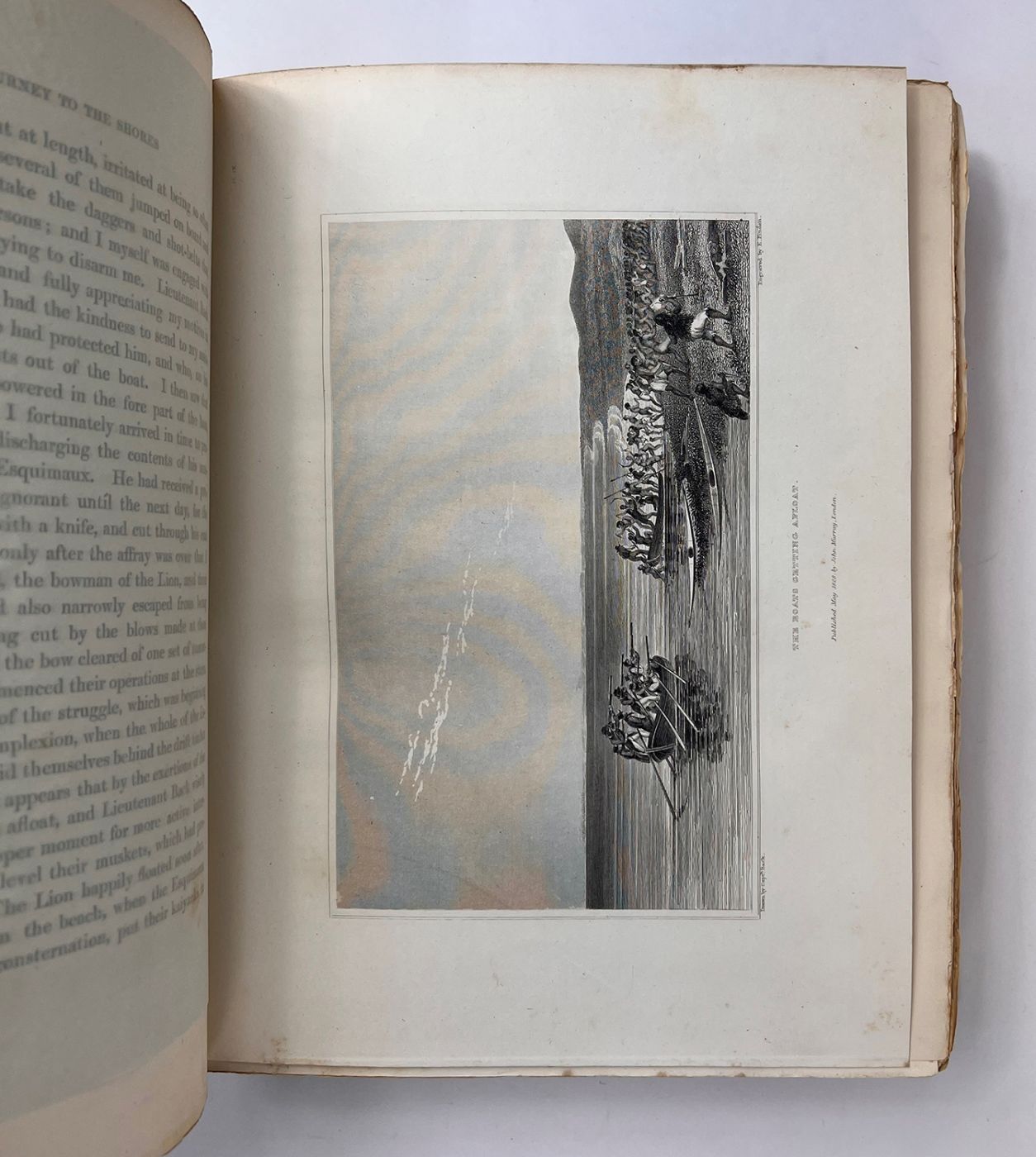
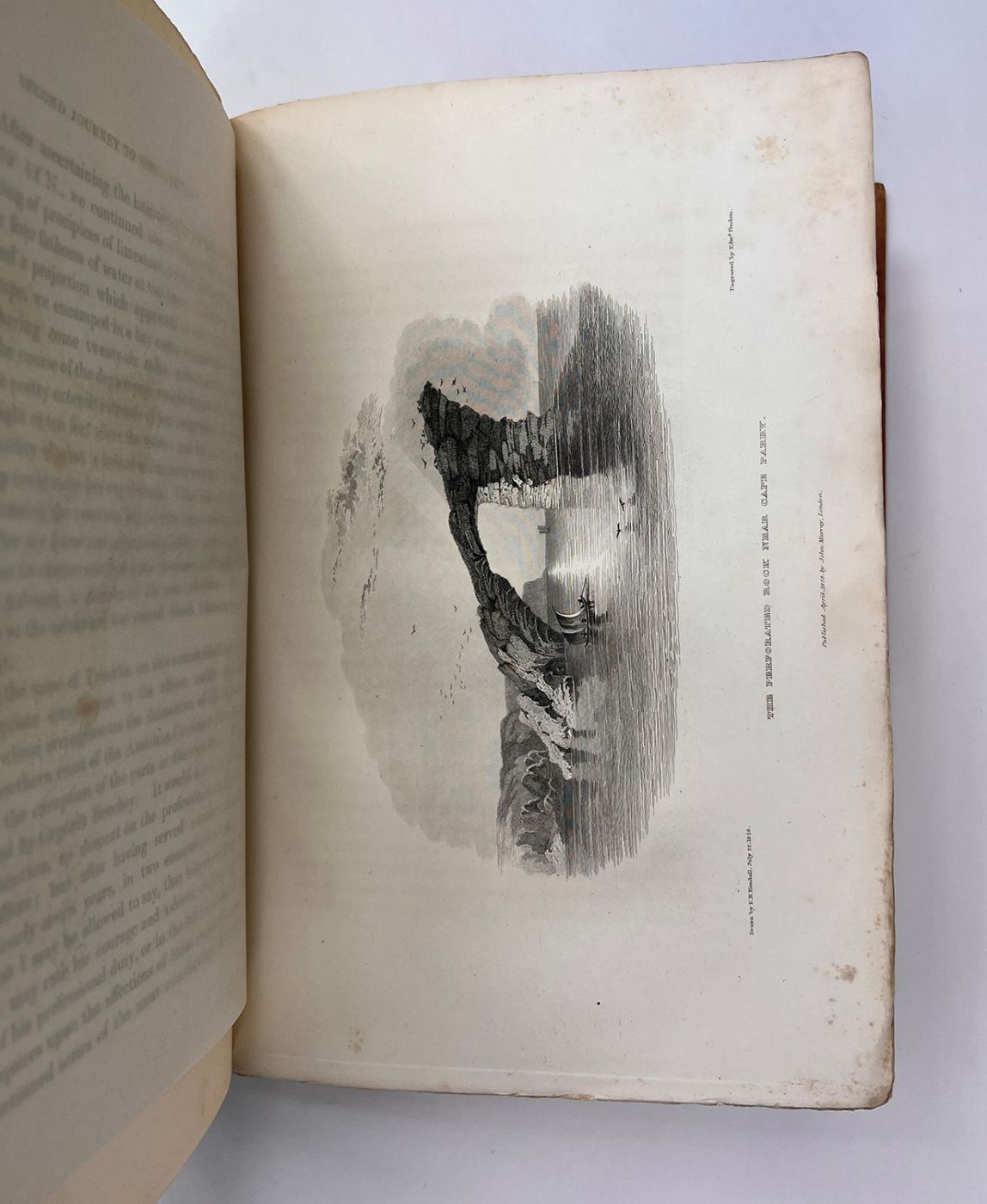
The first edition of Franklin's account of his second Canadian overland expedition, which formed his third expedition to the Arctic. The aim of the expedition was to reach the mouth of the Mackenzie River, from which Franklin would follow the coast westward and attempt to meet Frederick William Beechey, who would sail northeast from the Bering Strait. Franklin's companion, John Richardson, meanwhile, would follow the coast east from the Mackenzie to the mouth of the Coppermine River. After reaching Great Slave Lake using the existing known route, Franklin took a reconnaissance trip 1,000 miles down the Mackenzie, becoming, on 16th August 1825, the second European to reach its mouth. Here, he erected a flagpole and buried letters for Parry beneath. Following this success, he returned to winter at Fort Franklin on Great Bear Lake, heading back downriver the following summer, where he found the ocean frozen. He then worked his way west for several hundred miles, giving up on 16th August 1826 at Return Reef, when he was about 150 miles east of Beechey's Point Barrow and headed back to Fort Franklin, reaching safety on 21st September. The present work contains both Franklin's and Richardson's narratives of the expedition and includes descriptions of the lands traversed, the weather endured and the numerous encounters with the Esquimaux and Dogrib Indians. The six large, handsome folding maps provide extensive cartographical detail of the expedition and the finely engraved plates wonderfully illustrate the experiences of its members. "The beauty of the typography is rivalled by that of the engravings, each of which is a splendid specimen of art. Nine of these illustrations represent some incident in the intercourse of the explorers with the Esquimaux" (Field). A splendid copy, scarce in the publisher's original cloth. [Hill 636; Arctic Bibliography 5198; Sabin 25628; Field 561].
Stock code: 24059
£2,750
Published:
London: John Murray.
1828
Category
Non-fictionTravel / Exploration