
THE HAND-BOOK UP THE RHINE, Including a Description of all the Principal Places on the Banks of That River, as far as Strasburgh and Frankfort, with Other Secondary Routes, and Every Necessary Information Respecting Passports, Money, Inns, and Modes of Conveyance, through Holland, the Prussian Rhenish Provinces, Nassau, Belgium, &c.
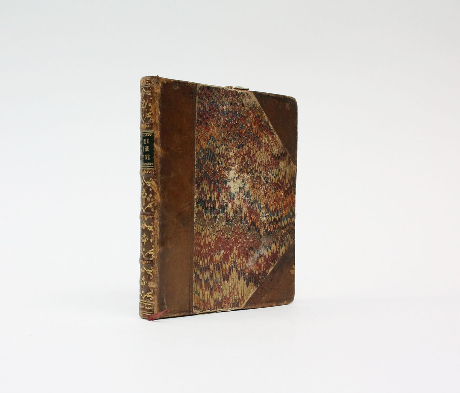
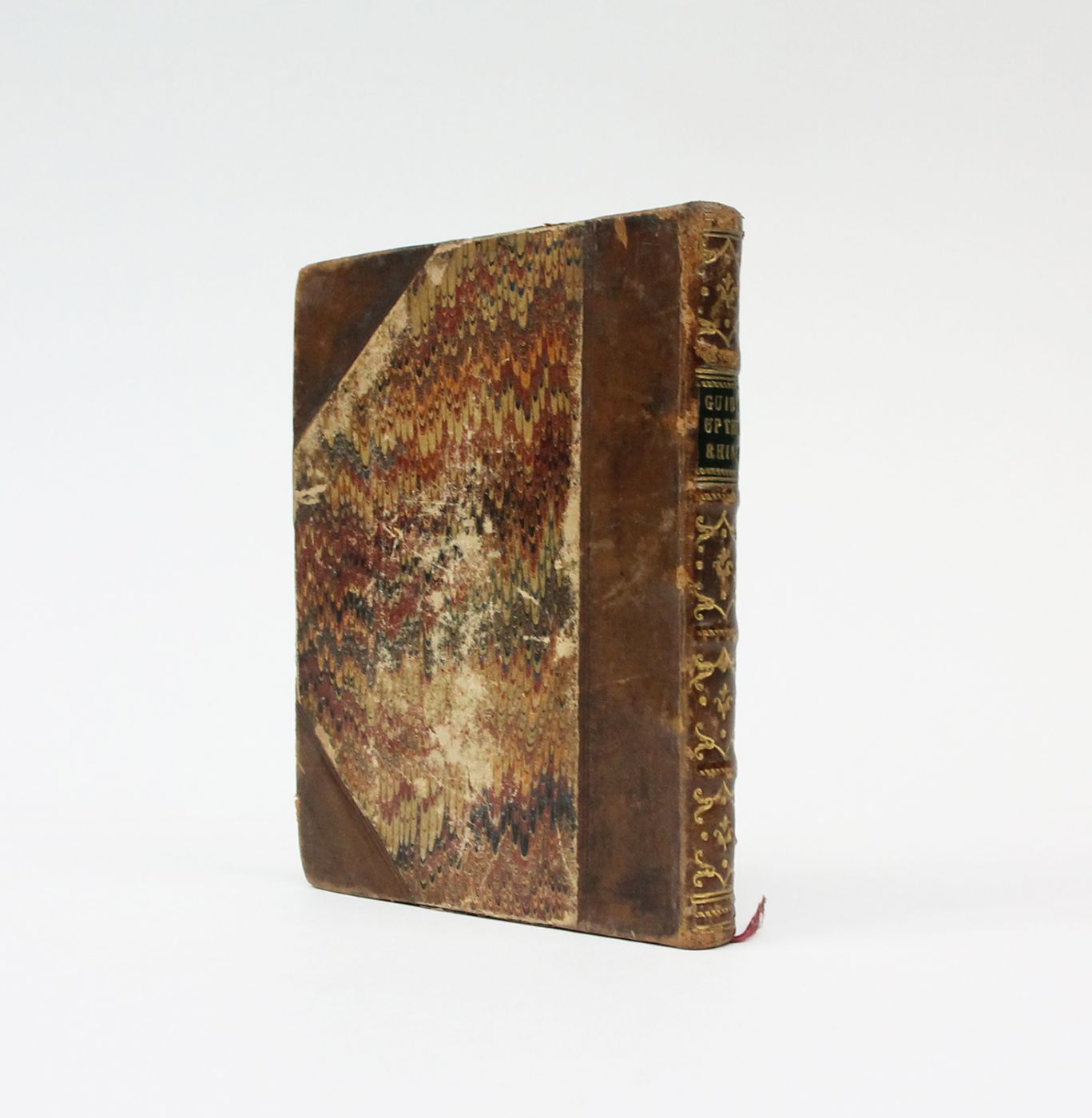
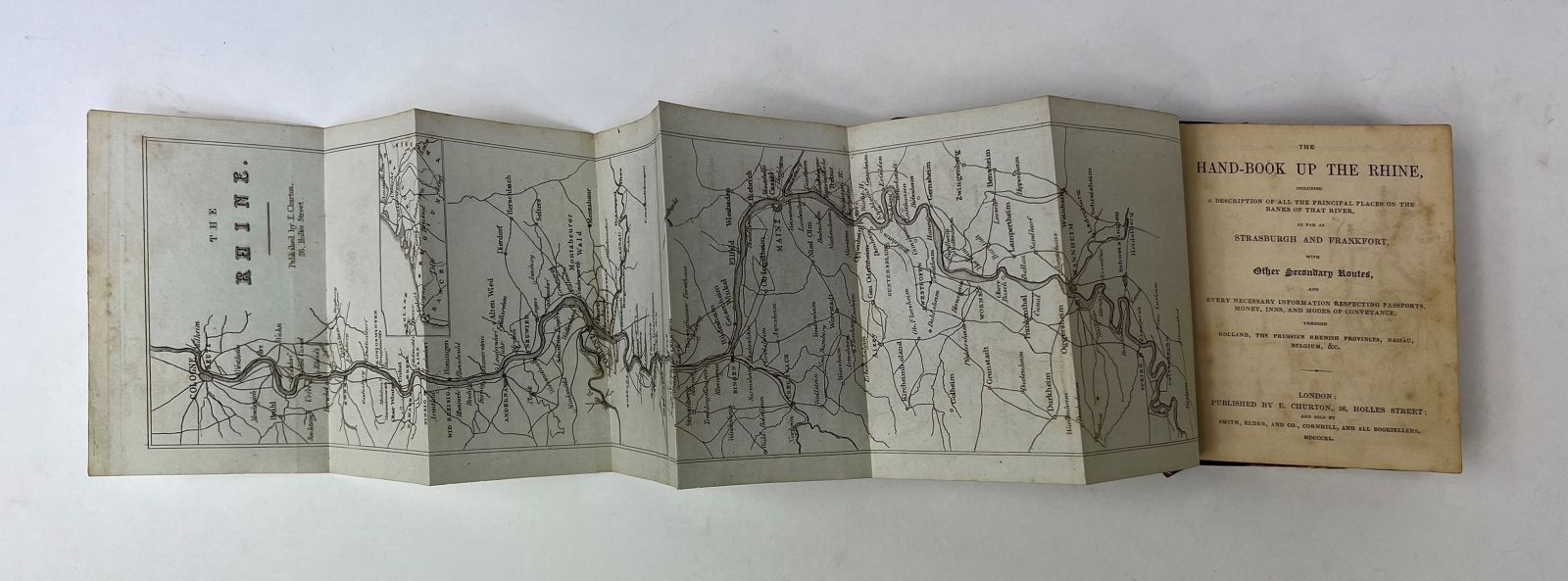
First edition. 32mo. 90 x 110mm. Attractively bound in contemporary half tan calf over marbled boards. The spine with four raised bands, compartments decorated in gilt and black morocco title label lettered in gilt. Red silk page marker bound in. Illustrated with an engraved folding frontispiece map of the Rhine (extending to 450 mm). A very good copy, the binding square and firm with a little wear and some old glue residue to some areas of the board edges. The contents with some light scattered foxing are otherwise in very good order and clean throughout. The folding map remains in excellent condition, free from any marking, tears or damage.
A handsome copy of this pocket-sized traveller's guide to the Rhine river, offering both detailed practical advice and providing a narrative account of the sights encountered. A scarce little travel book; we can trace no institutional copies of this first edition globally, and only one copy of the expanded octavo edition of 1844 (Bodleian).
Stock code: 20716
£225
Published:
Category
Non-fictionBindings
Maps
Travel / Exploration